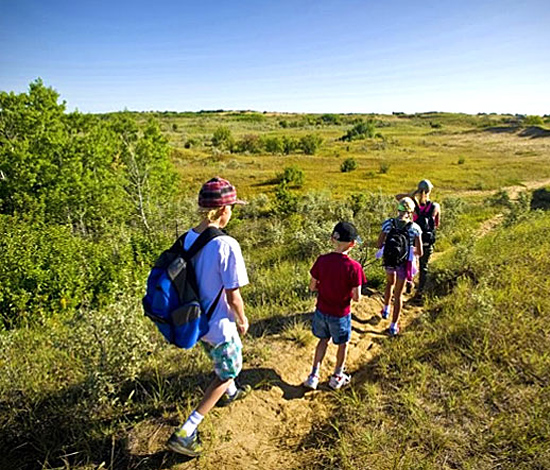
Hike The Great Trail
The Great Trail consists of over 24,000 km of multi-use trail that stretches across Canada! This amazing hike along Lake Diefenbaker begins at the end of the Chief Whitecap Waterway portion of the trail and leads through Danielson Park with panoramic lake views. Stroll native prairie vistas, wetlands, and wooded areas to the Elbow Trail. The Elbow Trail is 6 km along the shoreline where hiking, biking, and jogging are encouraged in spring, summer, and fall, and cross-country skiing and snowshoing in the winter. Piping Plover Trail, just beyond Elbow, is a 6 km stretch of natural trail where even horses are welcome! Next, the Douglas Park Trail is home to 15 species of rare plants and animals and specialized sand dune cacti and prairie flower.
Trail Map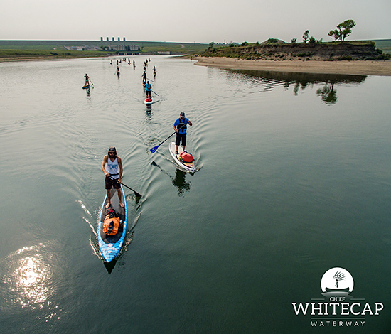
Paddle The Chief Whitecap Waterway
Chief Whitecap Waterway is a part of the The Great Trail. CWW presents over 100 kilometers of water trail on the South Saskatchewan River from Gardiner Dam all the way to Saskatoon. You can plan your own route as there are several entrance and exit points along the way. If you want to paddle the complete trail, there are a number of rest points along the way and each is equipped with a fire pit and picnic table for your convenience. Paddlers are welcome to set up camp overnight and continue their journey the following day. Kayak and paddleboard rentals are available.
More information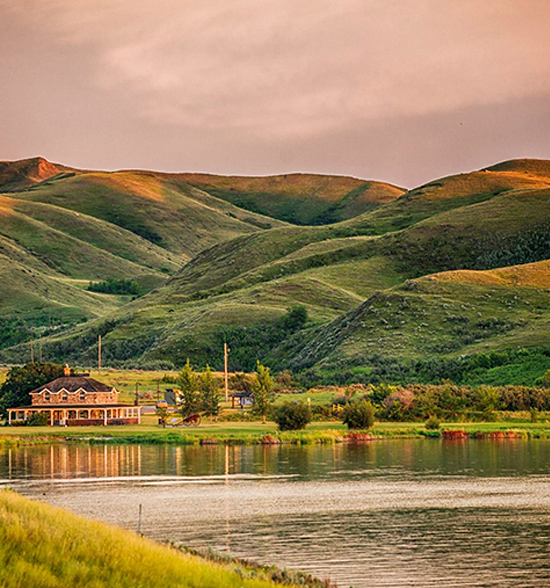
Hike through History on Saskatchewan Landing Trails
Saskatchewan Landing Provincial Park is home to three hiking trails. The Rings, Ruts, and Remnants Trail is 2.6 km of historic trail that has been a natural crossing point of the South Saskatchewan for centuries! Pass over the same trails used by the Indigenous people, European setters, trail freighters and surveyors on this 1.5 - 2 hour hike. See the remnants of the homesteads and the ruts created by thousands of wagons.
Ridges and Ravines is a 45-minute hike located just north of Bearpaw Campground. This trail follows down through South Saskatchewan River ravines, a glacial rock garden, and so much more.
The Prairie Vista Trail is a 1- 1.5 hour hike into the hills. A gradually inclining trek opening up to incredible views of the landscape and Goodwin House.
More Information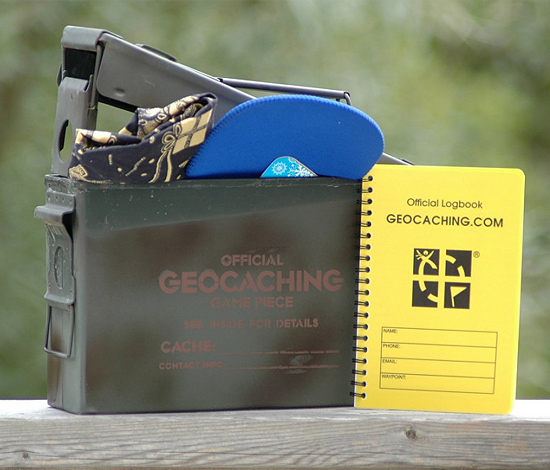
Geocaching
What is Geocaching?
Geocaching is the world's largest Treasure Hunting Game using GPS-enabled devices or smart phones and there are literally hundreds of Geocache hidden treasures in and around Lake Diefenbaker! Navigate to a set of GPS coordinates and then attempt to find the geocache (container) hidden at that location. This is an exciting adventure game for families with children right on through to retirees and it takes exploring our lake to a whole new level.
In order to play just download the app!
Download App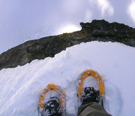
All Purpose Trails
Winter doesn't slow us down! Year round trail access on Lake Diefenbaker means that winter sports such as cross-country skiing and snowshoing, and even winter camping on the Douglas Park portion of the trail is entirely possible! That's not all, there are number of trails that are horse friendly. The Great Trail website map allows you to click on any section of the trail and review details about the distance, the terrain, and the portions of the trail that allow horseback riders. A number of sections are snowmobile friendly as well!
Explore Map